Our Services

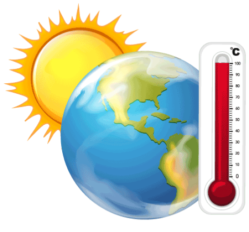
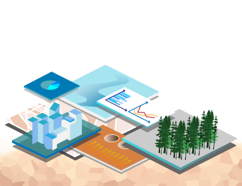
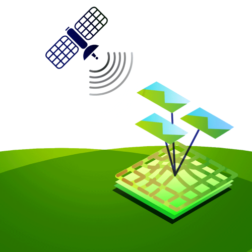
Equator Geo focuses on helping individuals and enterprises adopt sustainable practices by employing the services of Remote Sensing and GIS technology. Our ‘Net Zero’ project aims to help clients become carbon-neutral by developing customized solutions to offset their carbon emissions. With this goal in mind, we provide a well-designed framework for the implementation of the project, which includes conducting assessments, creating action plans and timelines, identifying funding and resources, and monitoring progress. With our expertise in the field of sustainable technology, we are committed to helping clients achieve their sustainability goals. What we value the most is client satisfaction with an assurance on state-of-the-art technology and services.

Agriculture & Soils

  • Carbon sequestration potential of agroforestry
  • Physiographic Analysis
  • Land Evaluation for land use planning
  • Land degradation mapping
  • Soil resource mapping
  • Watershed Management
  • Soil Erosion modelling and Management
  • Crop discrimination
  • Cropping pattern analysis
  • Crop stress assessment
  • Estimation of crop evapotranspiration
  • Crop water requirement
  • Crop health monitoring and yield calculation
  • Biophysical parameters
  • Soil moisture
  • Agrometeorological analysis

Architecture & Civil Engineering

  • House in a forest – Miyawaki forest method
  • Suitability of installing solar panels (rooftop / ground)
  • Conservation architecture
  • Drinking water purification and distribution
  • Sewage and other waste disposal
  • Natural gas distribution
  • Construction and green building
  • Renovation and Interior
  • MEP (Industrial services)

Climatology

  • Carbon neutral study
  • Fog retrieval
  • Numerical modelling of rainfall
  • Cloudburst prediction
  • Climate change triggered disaster adaptation
  • Climate change and climate variability studies

Disaster Management

  • Flood Prone Area Maps
  • Cyclone Monitoring
  • Forest fire zone identification
  • Drought Monitoring & Forecast
  • Earthquake prone areas
  • Landslide prone area mapping
  • Slope stability mapping
  • Post disaster damage assessment and adaptation strategy

Forestry

  • Carbon sequestration potential of forests
  • Forest type & density Mapping
  • Detection of degraded forest areas
  • Forest fire monitoring
  • Habitat mapping
  • Biomass Estimation
  • Forest Species identification
  • Environmental Impact Assessment (EIA)

Landuse Planning

  • Land use mapping
  • Wasteland mapping
  • Wetland mapping
  • Land use change analysis
  • Inputs for tourism development

Oceanography

  • Circulation models
  • Potential fishing Zone determination
  • Algal bloom detection
  • Coastal hazard mapping
  • Shoreline change detection
  • Bathymetry

Photogrammetry

  • Mapping
  • DEM generation
  • Point cloud generation and defect identification using close range photogrammetry and/or Lidar.
  • 3D modelling (3D mapping).
  • Drone data collection and data processing
  • Hierarchical structure defect detection

Urban Planning

  • Built-up area extraction using buildup indices
  • Building footprint mapping
  • Urban Land Use mapping
  • Urban sprawl mapping and Change detection
  • Space Use Mapping
  • Urban Growth modelling
  • Urban Hazard mapping and Risk assessment
  • Urban Hydrology and flood modelling
  • Urban Heat Island Mapping
  • Green space Analysis
  • Transportation network

Water Resource and Cryosphere

  • Watershed characterization and planning
  • Flood Mapping & Modeling/Forecasting
  • Risk assessment using geospatial tools
  • EIA for water resources projects
  • Snow and glacier melt runoff modeling
  • Hydrological and Hydraulic modeling
  • Mapping and monitoring of surface water body, snow and glaciers
  • Soil Erosion and Soil Moisture mapping and modeling
  • Irrigation Water Management
  • Drought Monitoring
  • Site suitability analysis for water harvesting, river valley, irrigation and hydro power projects
  • Water quality analysis